History of Creation
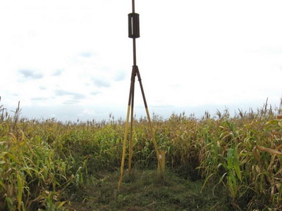
The Struve Arc was created between 1816 and 1855 under the leadership of the distinguished Russian astronomer and geodesist Vasily Yakovlevich Struve. The research was conducted using the triangulation method, which allowed for highly accurate measurements of the Earth's parameters. The studies confirmed that the difference between modern measurements and 19th-century calculations is less than 3.5 cm, demonstrating the high precision of the work carried out. Today, geodetic points serve as important historical monuments of science and engineering. Many of them have commemorative markers, including steles and pyramids symbolizing their significance.
Excursions with a Tour of the Geodetic Point
Visiting the geodetic point "Dokudovo" is an opportunity to delve into the history of scientific discoveries and appreciate the contribution of Belarusian territory to global science. Excursions across Belarus with a tour of geodetic points provide insights into geodetic measurement methods, allow visitors to see preserved historical landmarks, and enjoy the picturesque landscapes of Belarusian nature.
It is possible to book an excursion from Minsk, including a visit to the geodetic point "Dokudovo" and other fascinating sites in the region. These excursions feature guides' stories about the work of 19th-century geodesists, the discoveries of Vasily Struve, and the significance of the Struve Arc for world science. The journey will be captivating for history and geography enthusiasts as well as for those who appreciate unique routes and scientific discoveries.