History of Creation
The Struve Arc was created between 1816 and 1855 under the leadership of the renowned Russian astronomer Vasily Yakovlevich Struve, the first director of the Pulkovo Observatory. Geodetic measurements confirmed that the Earth is not a perfect sphere but an ellipsoid. Despite changes in the landscape over two centuries, scientists assert that the difference between modern and historical meridian measurements is less than 3.5 cm, proving the high accuracy of the conducted research.
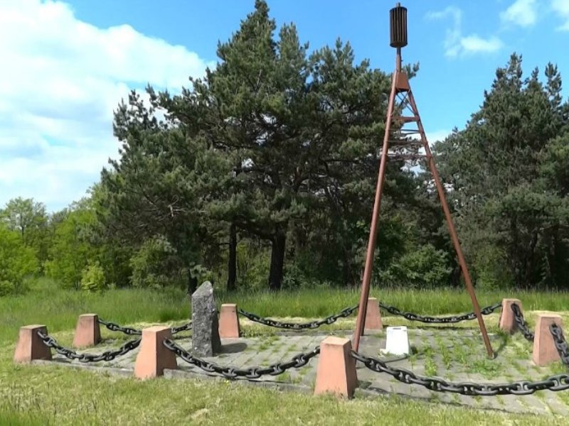
Excursions with a Visit to the Geodetic Point
Excursions around Belarus with a visit to the geodetic point "Ivacevichy" offer a unique opportunity to see one of the most important scientific sites of the 19th century. As part of the tour, visitors can learn about past geodetic measurement techniques, the history of the Struve Arc, and its significance for science. It is possible to book an excursion with a visit to the geodetic point as part of tours around the Brest Region or choose an excursion from Minsk that includes visits to other historical landmarks in the region. This route is perfect for science and history enthusiasts, as well as for those who want to discover the unique corners of Belarus.